Ressources
What is Explora?
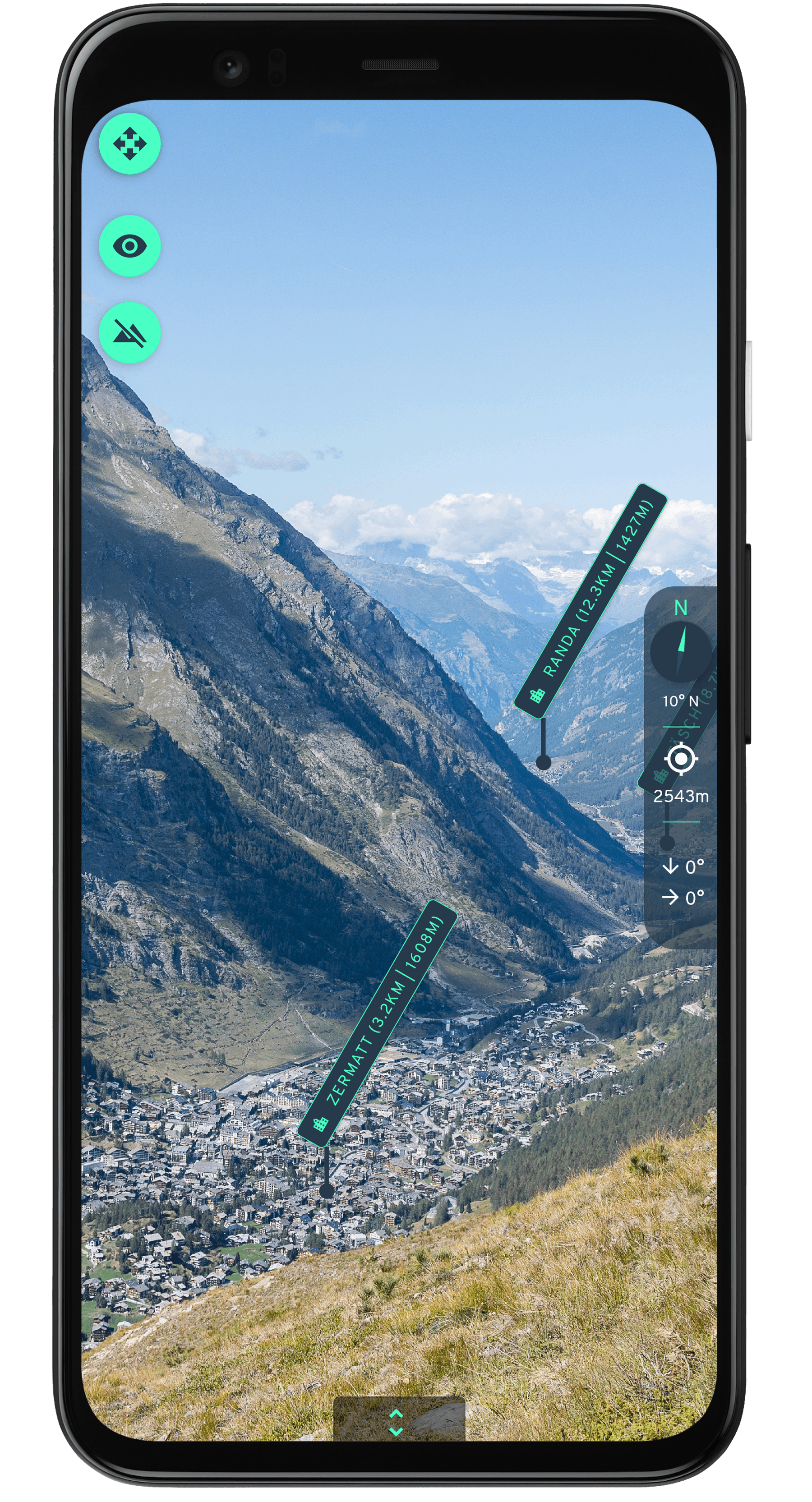
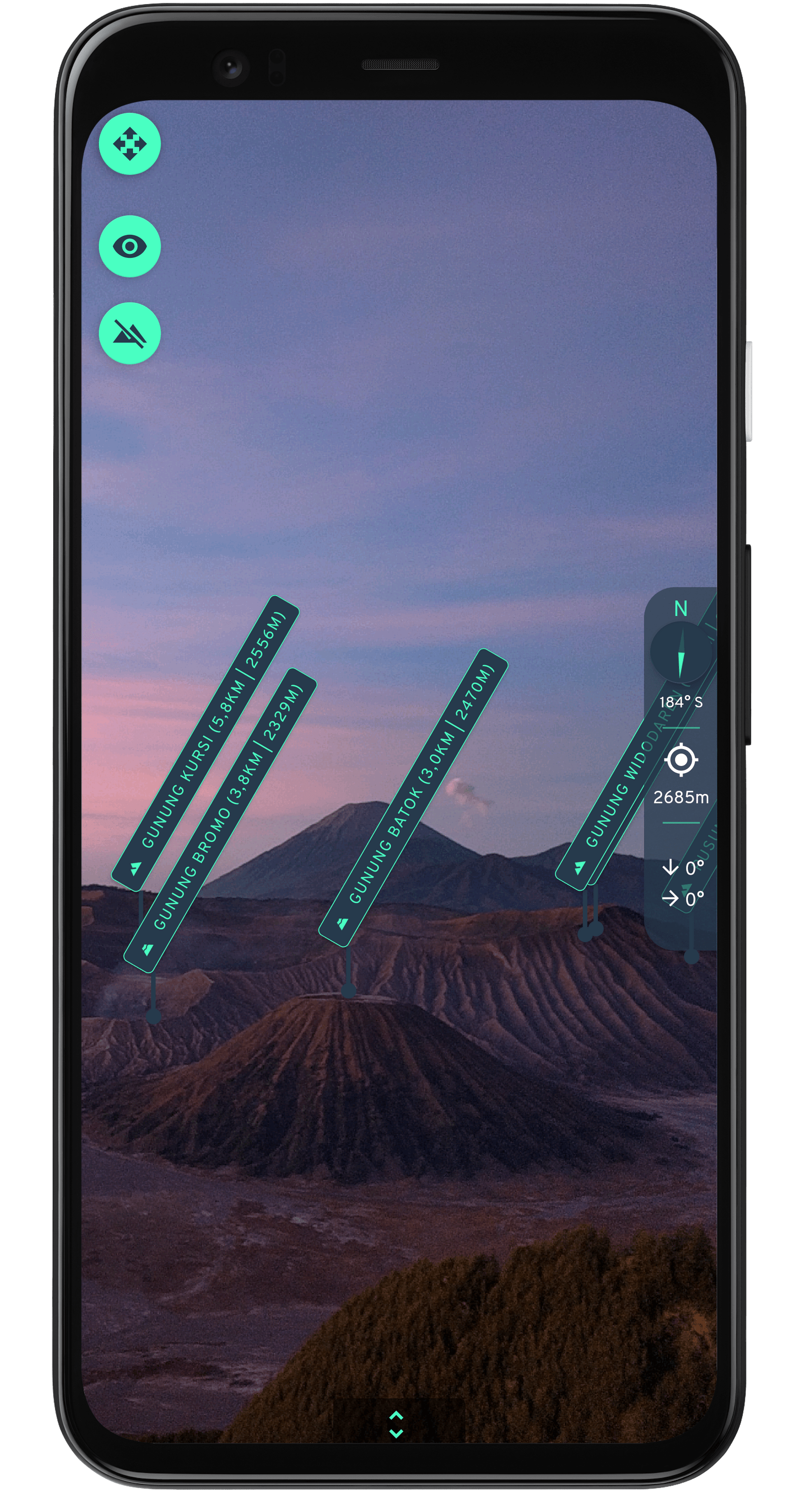
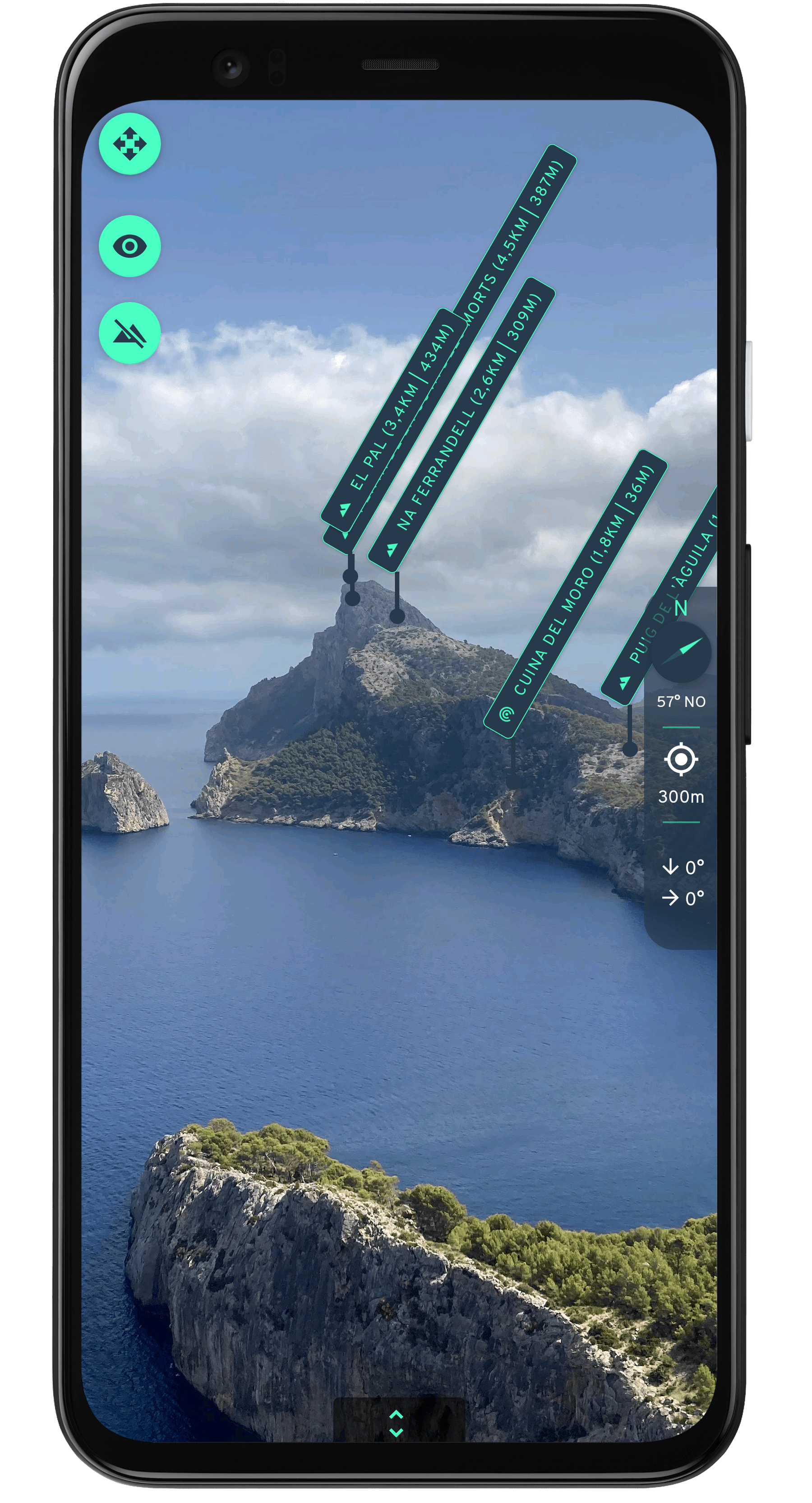
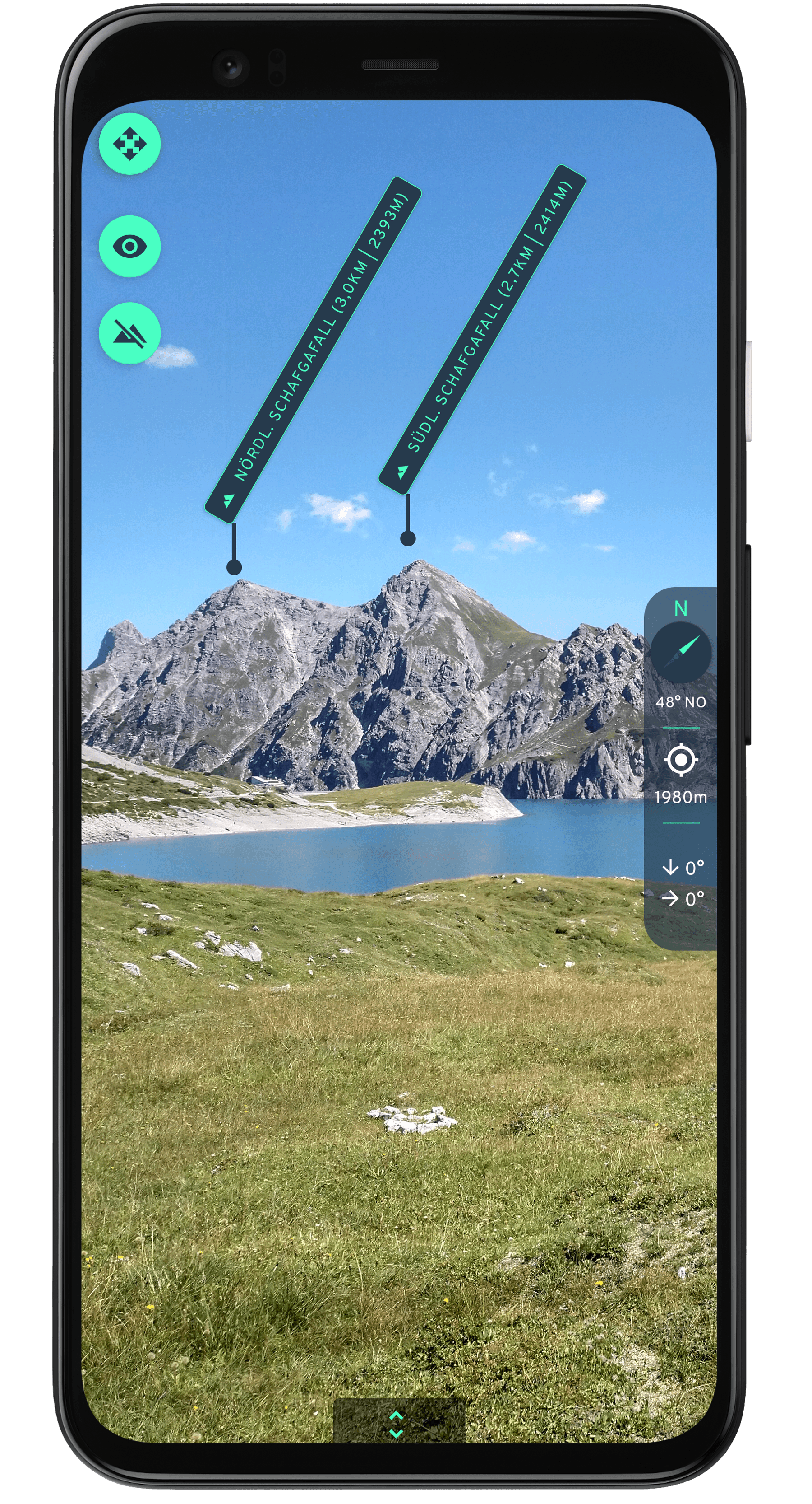
Explora is an Android app featuring Augmented Reality.
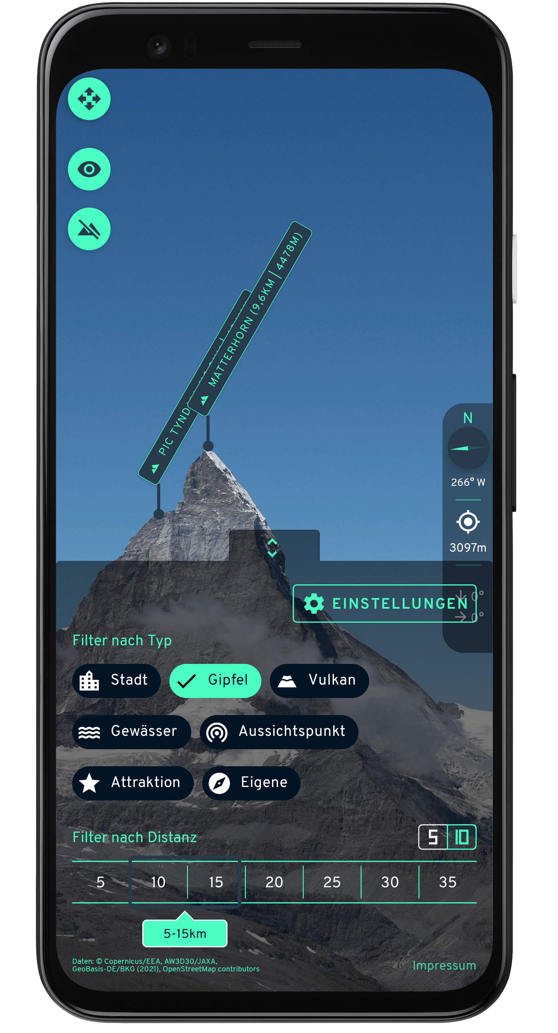
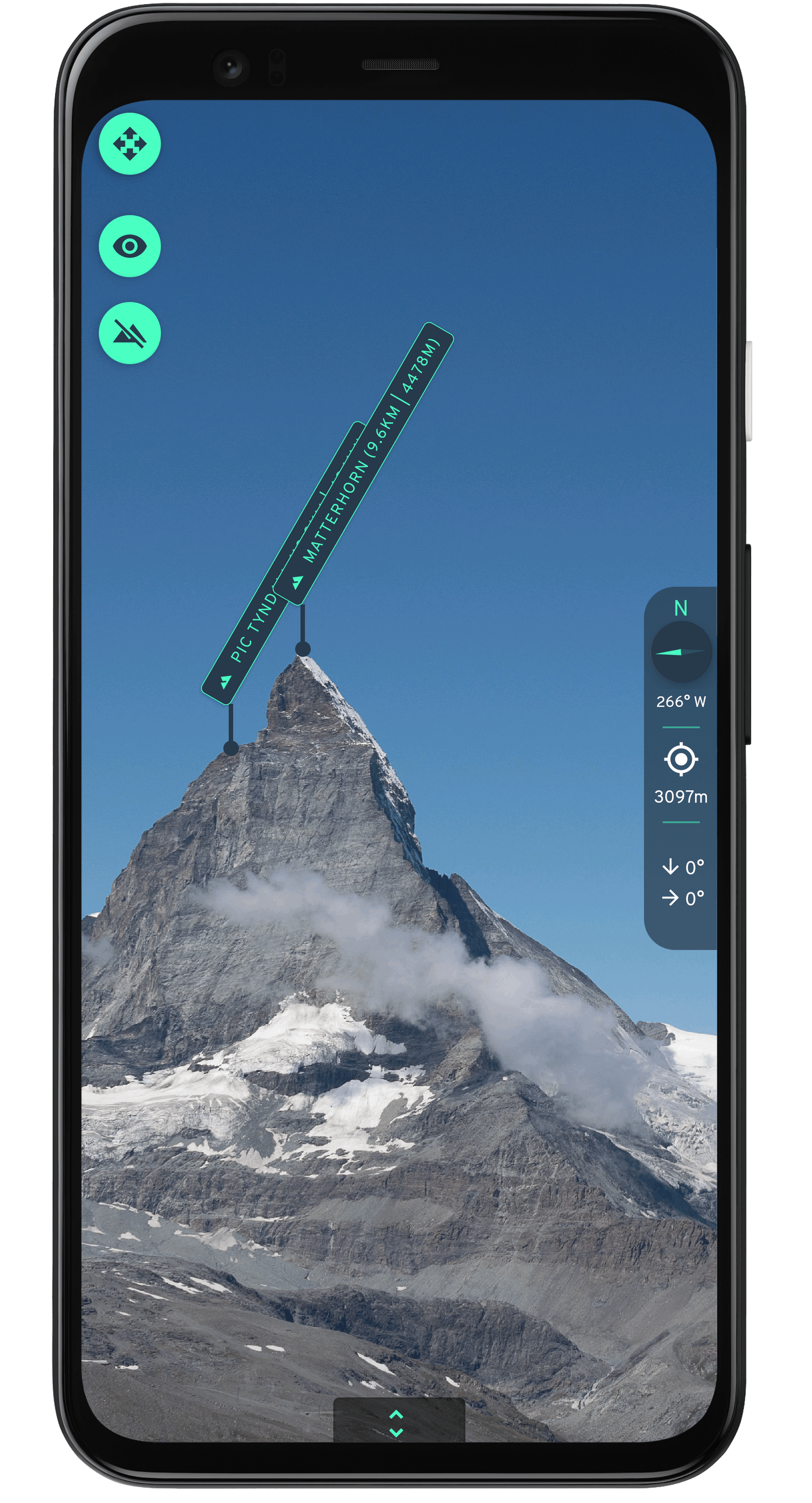
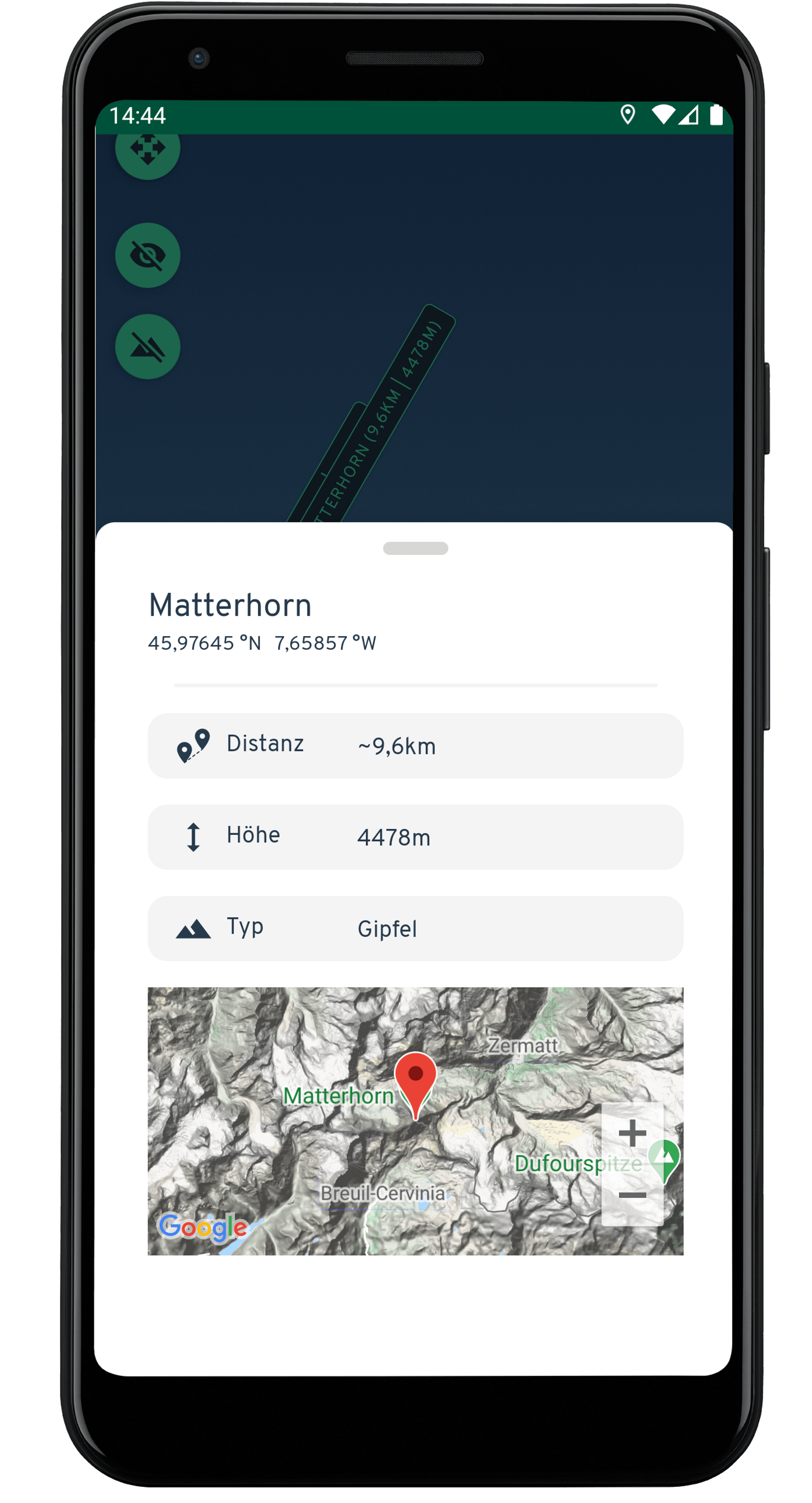
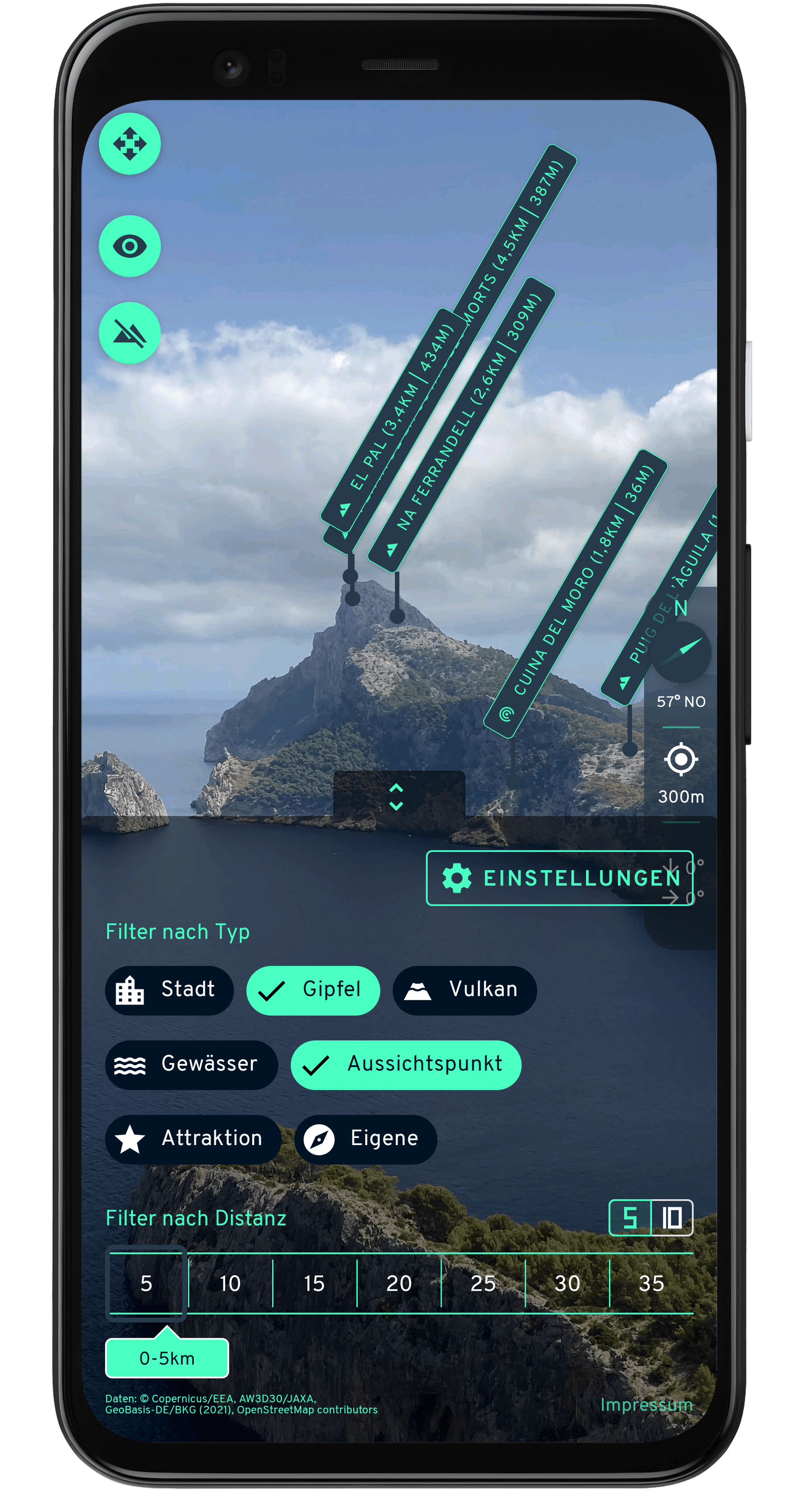
Users are able to explore their surroundings with their smartphone's camera. Names and other information of nearby interesting points (POI - point of interest, e.g. peaks) is drawn on top of the camera image leading to a seamless experience.
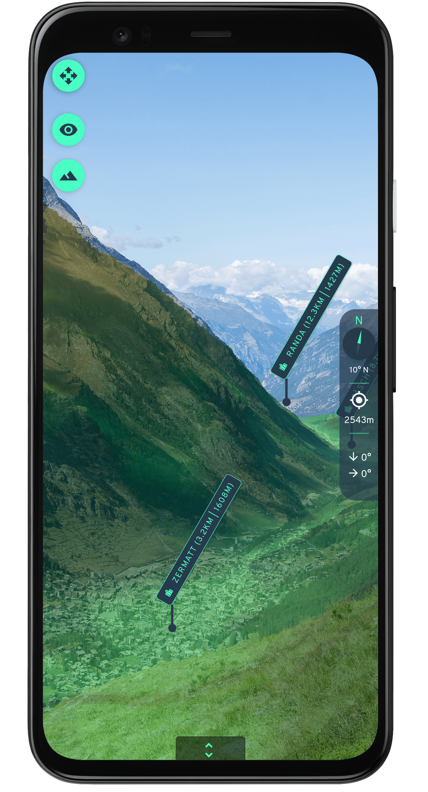
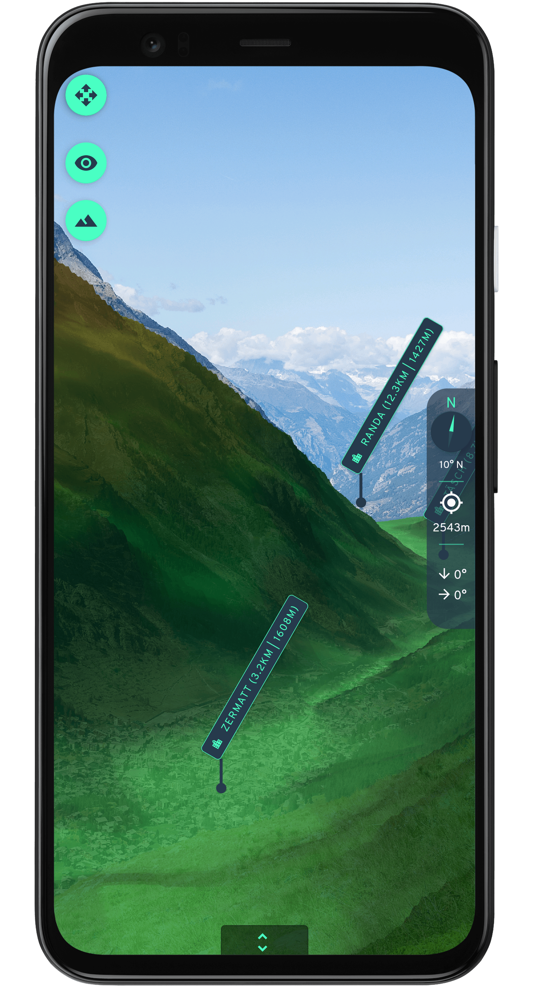
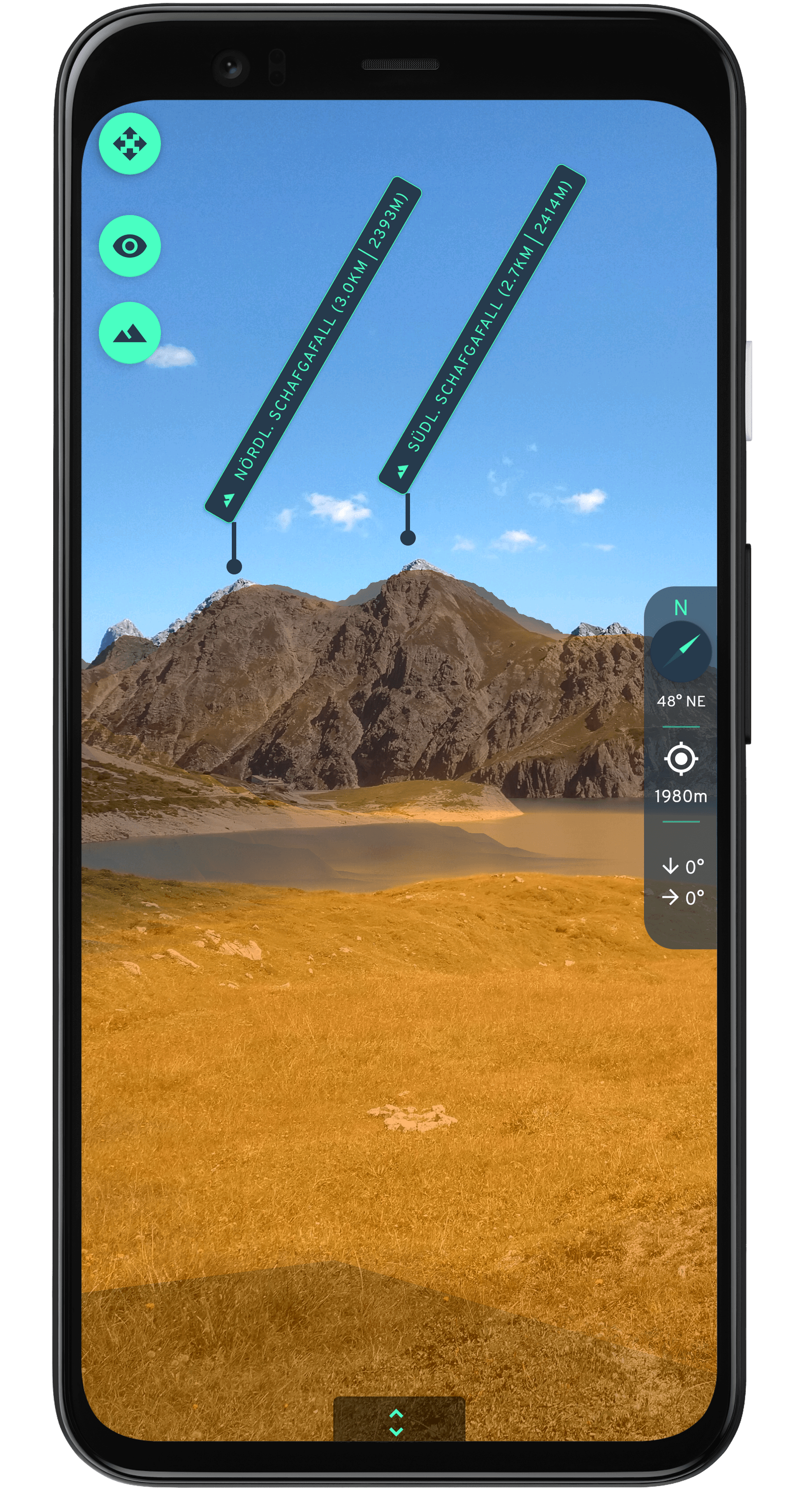
To help users orientate better, a 3D model of the terrain around the user's location is shown on top of the camera's image.
Who are the persons behind Explora?
Explora started as a student project at Stuttgart Media University. While lots of prework has been done during the student project, most of the app is being developed in the free time.
However, please note that Explora is in no way affiliated with Stuttgart Media University.
How is Explora working?
Key of the "mystery" behind Explora is the users's current location and the attitude of the user's device.
Location and attitude
As almost all current smartphones have an GNSS sensor ("GPS") equipped, the user's location can be determined easily. A few corrections are applied on the location received directly from the sensor.
The attitude (which is how the user holds the device (e.g. device is facing north)) of the device is derived from three sensors: Accelerometer, gyroscope and magnetometer. The first two are used to determine the relative attitude, while the magneometer is used to determine the device's orientation regarding the magnetic noth pole.
Projecting POIs onto the camera screen
Projection of POIs onto the camera screen is done with mathematical calculations. These take the camera's sensor's specs into account and project a POI's location onto the device's screen.
Data sources
The app's data base is solely based on publicly available data. This includes, for example, a digital elevation model (DEM) and POI data from Openstreetmap, but also other national sources.
Roadmap
The following list lists features/improvements/fixes being on our todo. The list can change at any time.
Changelog
v1.3.0 (December 2021)
- New: You can now search for specific POIs in the POI list.
- More updates and stability improvements
v1.2.0 (June 2021)
- New: When adding own POIs, the position can be selected from a map, the altitude can be retrieved via API
- Further improvements and bugfixes
v1.1.0 (May 2021)
- New: POI data is downloaded automatically for the current location.
- New: POI names are localized, based on the device's locale (if available).
- Improvement: Contrast of terrain overlay improved.
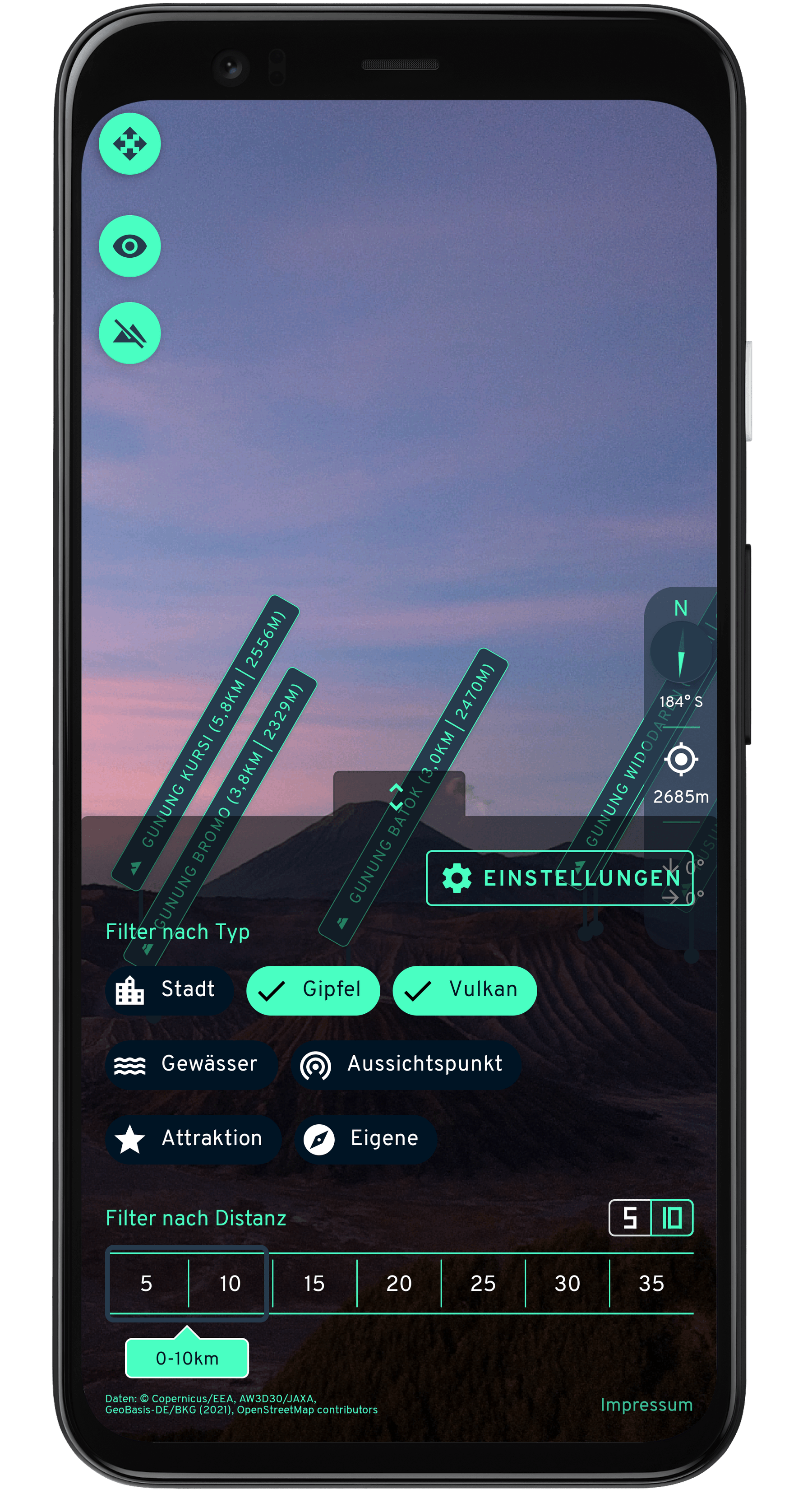
- Improvement: Filter settings (bottom of the screen) can be swiped up, instead of pressing the button.
- Fix: Several bugfixes.
v1.0.1 (February 2021)
- New: Choose between two terrain overlay styles.
- New: Opacity of terrain overlay can be configured in settings.
- Improvment: UI improvements.
- Fix: Several bugfixes including problems with some device cameras.
v1.0.0 (December 2020)
- Initial release.
